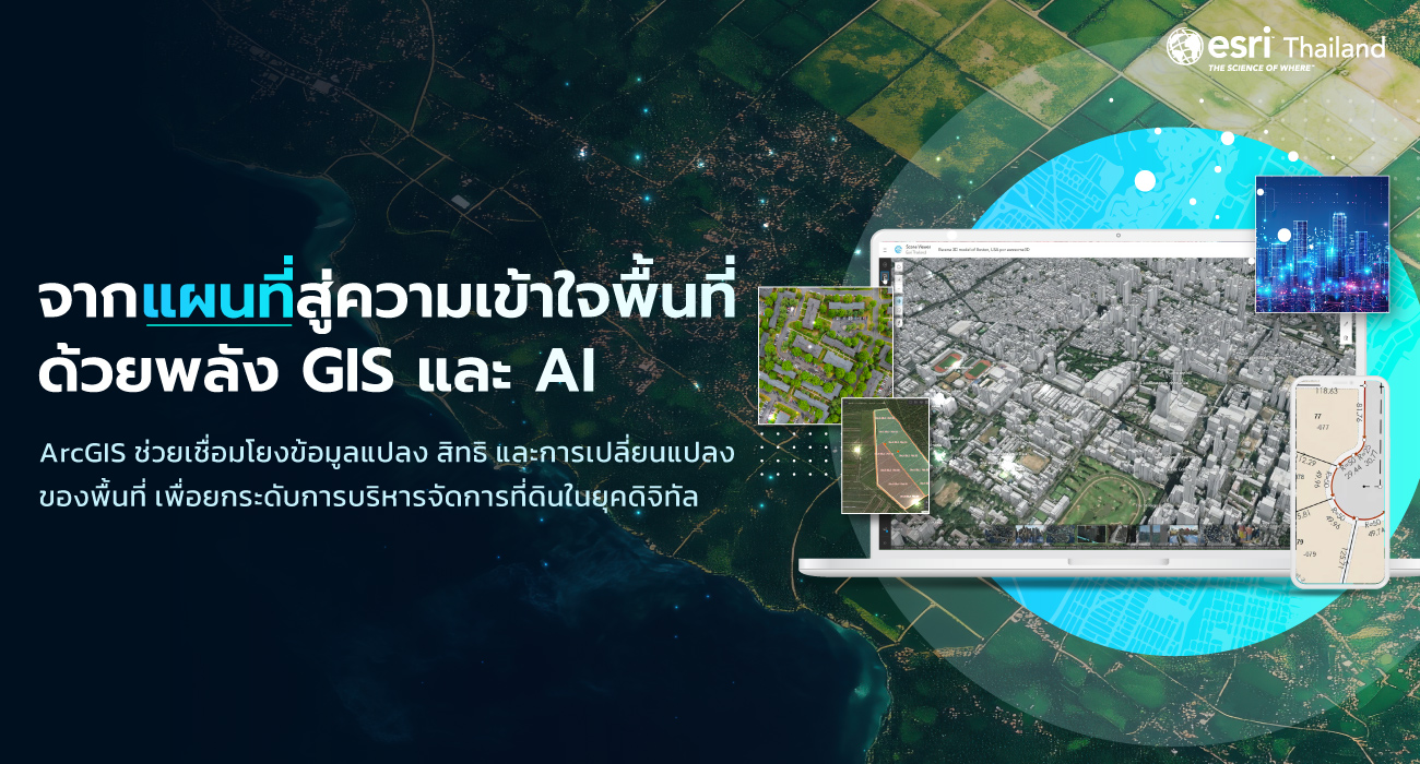
22 ก.ค. GIS และ AI กำลังเปลี่ยนอนาคตของการบริหารจัดการที่ดินอย่างไร Posted at 11:18h in Blog ... Read More
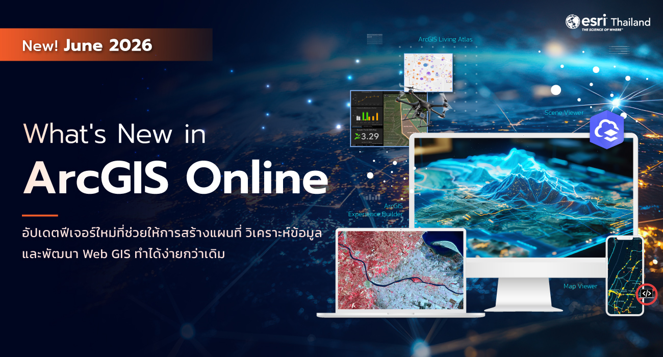
14 ก.ค. What’s New in ArcGIS Online (June 2026) อัปเดตฟีเจอร์ใหม่ที่ช่วยให้การสร้างแผนที่ วิเคราะห์ข้อมูล และพัฒนา Web GIS ง่ายยิ่งขึ้น Posted at 17:16h in Blog ... Read More
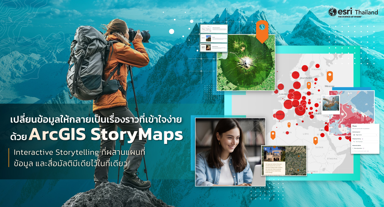
07 ก.ค. หมดยุครายงานแผนที่แบบเดิมๆ เปลี่ยนข้อมูลให้กลายเป็นเรื่องราวที่เข้าใจง่ายด้วย ArcGIS StoryMaps Posted at 09:40h in Blog ... Read More
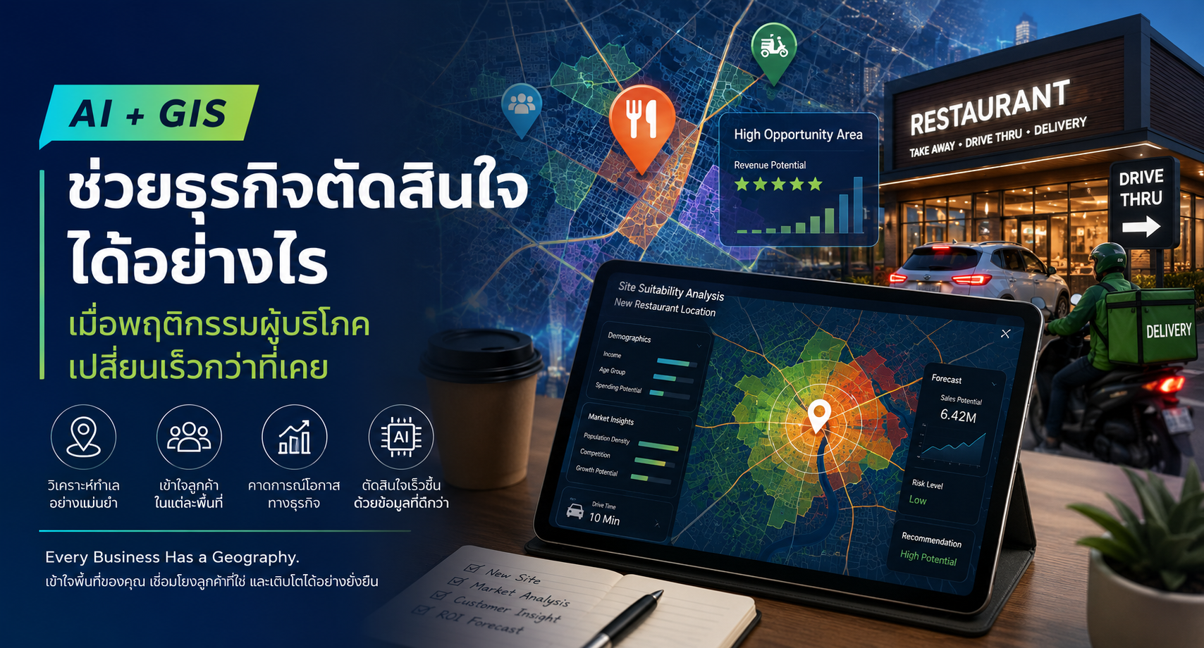
30 มิ.ย. AI และ GIS ช่วยธุรกิจตัดสินใจได้อย่างไร เมื่อพฤติกรรมผู้บริโภคเปลี่ยนเร็วกว่าที่เคย Posted at 10:21h in Blog ... Read More
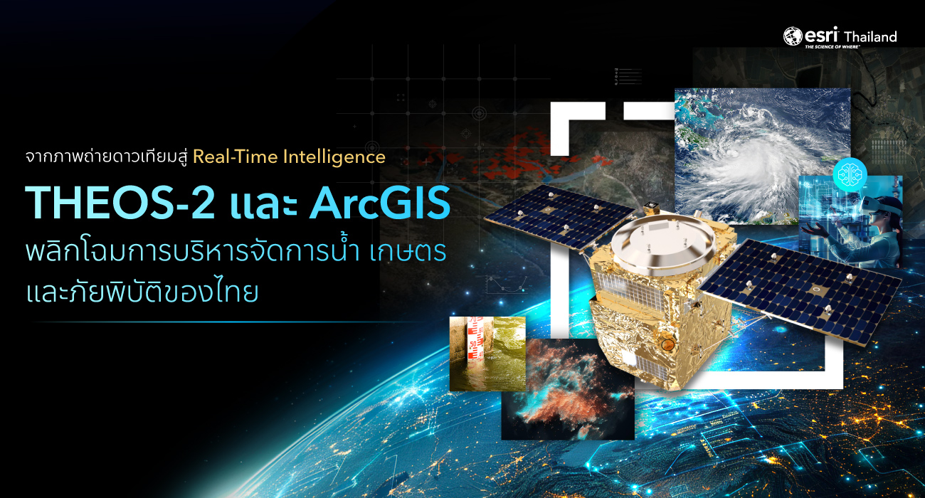
24 มิ.ย. THEOS-2 และ ArcGIS พลิกโฉมการบริหารจัดการน้ำ เกษตร และภัยพิบัติของไทย จากภาพถ่ายดาวเทียมสู่ Real-Time Intelligence: Posted at 09:46h in Blog ... Read More
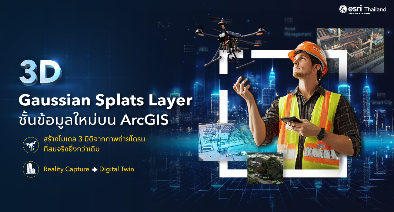
17 มิ.ย. 3D Gaussian Splats Layer บน ArcGIS ก้าวใหม่ของ Digital Twin ที่สมจริงยิ่งกว่าเดิม Posted at 18:05h in Blog ... Read More
10 มิ.ย. Geospatial AI คืออะไร? เมื่อ AI เข้าใจ “สถานที่” การตัดสินใจก็แม่นยำยิ่งขึ้น Posted at 16:57h in Blog ... Read More
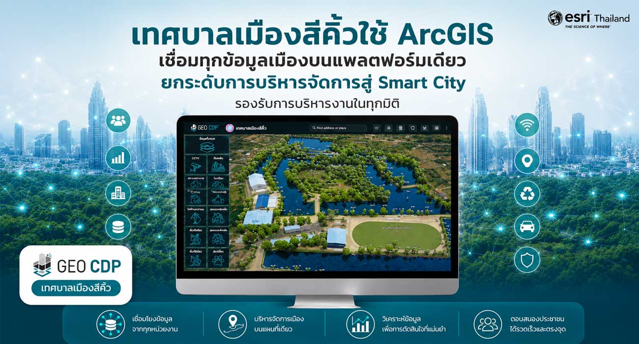
04 มิ.ย. เทศบาลเมืองสีคิ้วใช้ ArcGIS เชื่อมทุกข้อมูลเมืองบนแพลตฟอร์มเดียว ยกระดับการบริหารจัดการสู่ Smart City รองรับการบริหารงานในทุกมิติ Posted at 16:11h in Blog ... Read More
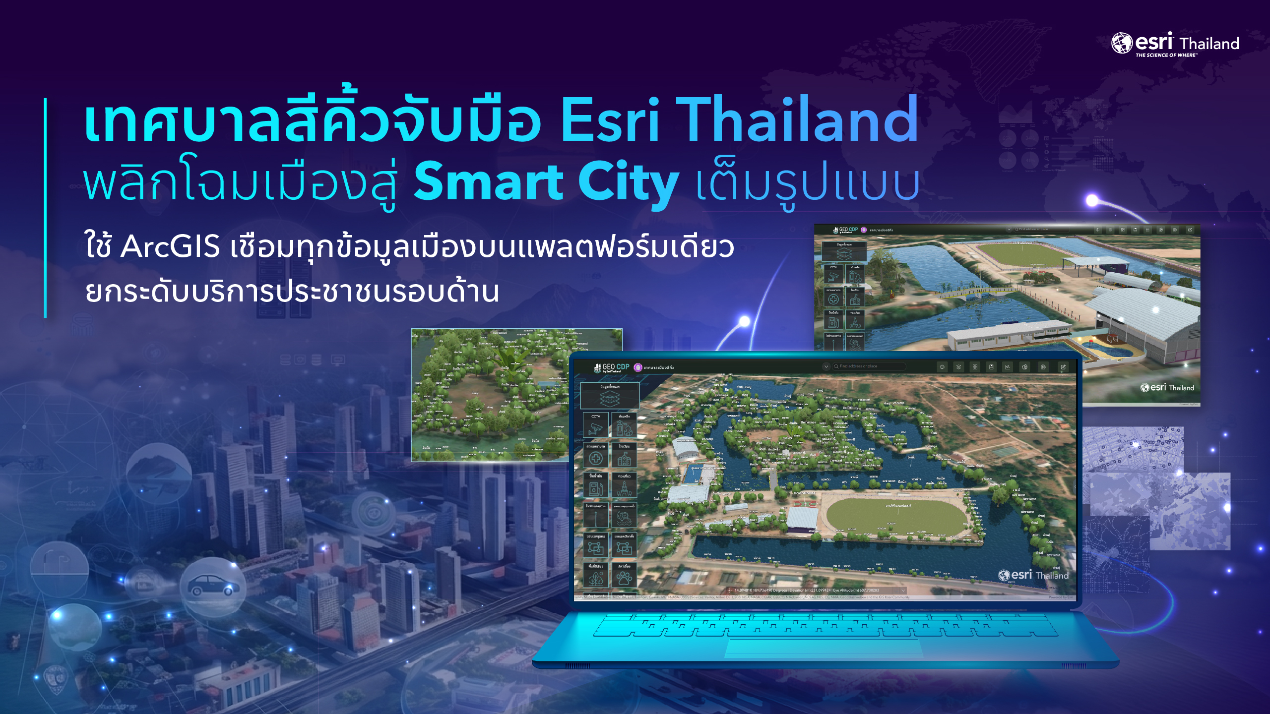
02 มิ.ย. สีคิ้วพลิกโฉมเมืองสู่ Smart City เต็มรูปแบบ จับมือ Esri Thailand ใช้ ArcGIS เชื่อมทุกข้อมูลเมือง บนแพลตฟอร์มเดียว ยกระดับบริการประชาชนรอบด้าน Posted at 14:31h in News ... Read More
01 มิ.ย. ArcGIS และ Digital Twin ช่วยยกระดับการบริหารท่าเรือขนาดใหญ่ได้อย่างไร Posted at 11:03h in Blog ... Read More