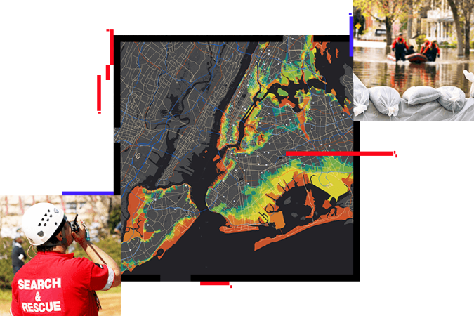
Create a safe community with location intelligence
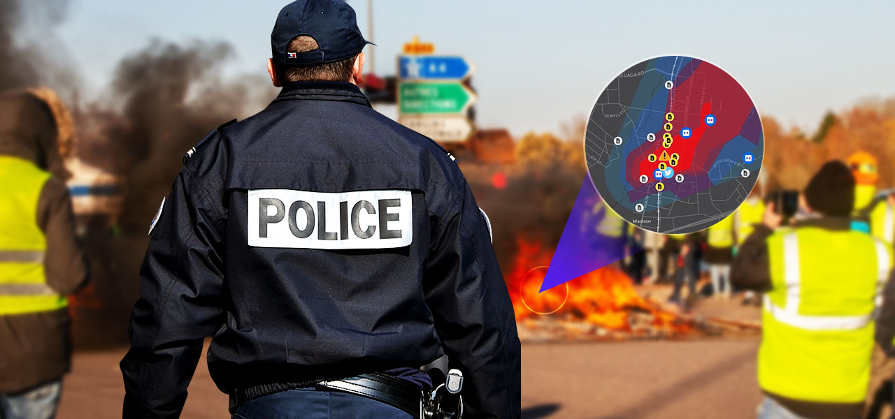
With location intelligence from the Esri Geospatial Cloud, you’ll gain a deeper understanding of where to focus your efforts to prevent, protect against, and mitigate the effects of the complex threats and hazards found in your community. Armed with data-driven insights, you can better respond to and recover from the threats that pose the greatest risk to keeping your community safe—all in real time.
Understand
ArcGIS securely integrates data from Internet of Things (IoT) sensors, business systems, and your partners using the common language of location. Visualize and analyze this data to uncover hidden vulnerabilities and patterns that help you prioritize efforts that can increase the safety and security of your community.
Plan
ArcGIS provides a global geospatial infrastructure supporting secure information sharing and collaboration. Create, share, and modify your plans in a collaborative way with partners to reduce redundancy and ensure coverage. Then, engage the public on key initiatives to increase your resilience.
Act
With your plan in place, monitor the situation and make adjustments in real time. ArcGIS provides ready-to-use, live data and integrates sensor data to enhance your situational awareness. Combined with real-time resource and asset tracking with ArcGIS, you have all the information you need to anticipate your next move.
Case Study
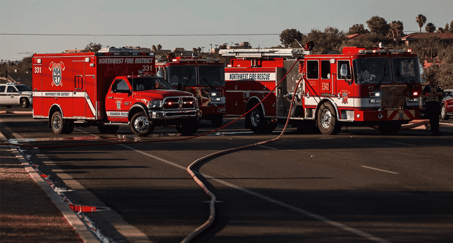
Northwest Fire District Embraces Apps to Better Prepare for Emergencies
Northwest Fire District has embraced mobile apps to improve workflows beyond past paper-based practices.
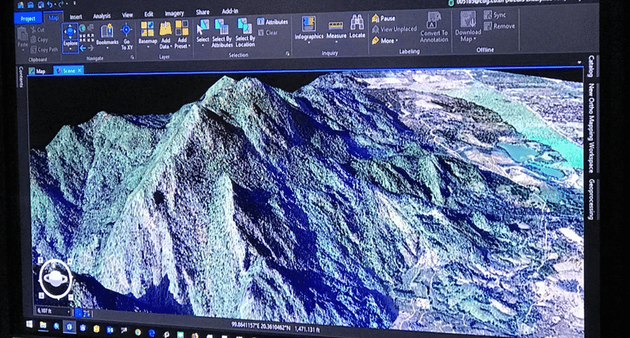
Esri Thailand Cave Case
ESRI (Thailand) Co., Ltd and GIS Co., Ltd., together with Department of Mineral Resources, helps support this rescue mission for 13 missing boys at Tham Luang Nang Non cave by employing GIS technology
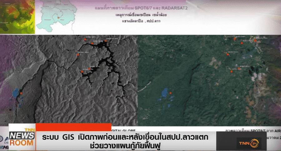
Esri Thailand use GIS Technology showing the flood area Before and after the dam broke in Laos
Esri Thailand use GIS Technology showing the flood area in Laos
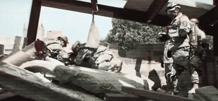
Preparing to respond to a Disaster
One of the largest regional exercises in the U.S., CAPSTONE 14 involved eight states exercising their preparedness to respond to a catastrophic disaster.
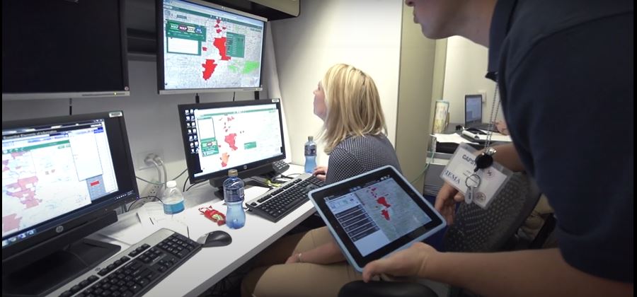
Maintain Situational Awareness and Connect Communities During Disasters Using ArcGIS
Discover the power of ArcGIS to manage emergencies and the flow of public information.
Create a safe community with location intelligence
With location intelligence from the Esri Geospatial Cloud, you’ll gain a deeper understanding of where to focus your efforts to prevent, protect against, and mitigate the effects of the complex threats and hazards found in your community. Armed with data-driven insights, you can better respond to and recover from the threats that pose the greatest risk to keeping your community safe—all in real time.
Understand
ArcGIS securely integrates data from Internet of Things (IoT) sensors, business systems, and your partners using the common language of location. Visualize and analyze this data to uncover hidden vulnerabilities and patterns that help you prioritize efforts that can increase the safety and security of your community.
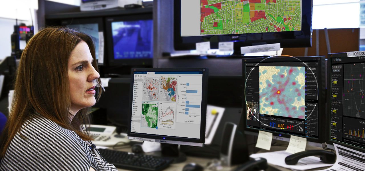
Plan
ArcGIS provides a global geospatial infrastructure supporting secure information sharing and collaboration. Create, share, and modify your plans in a collaborative way with partners to reduce redundancy and ensure coverage. Then, engage the public on key initiatives to increase your resilience.
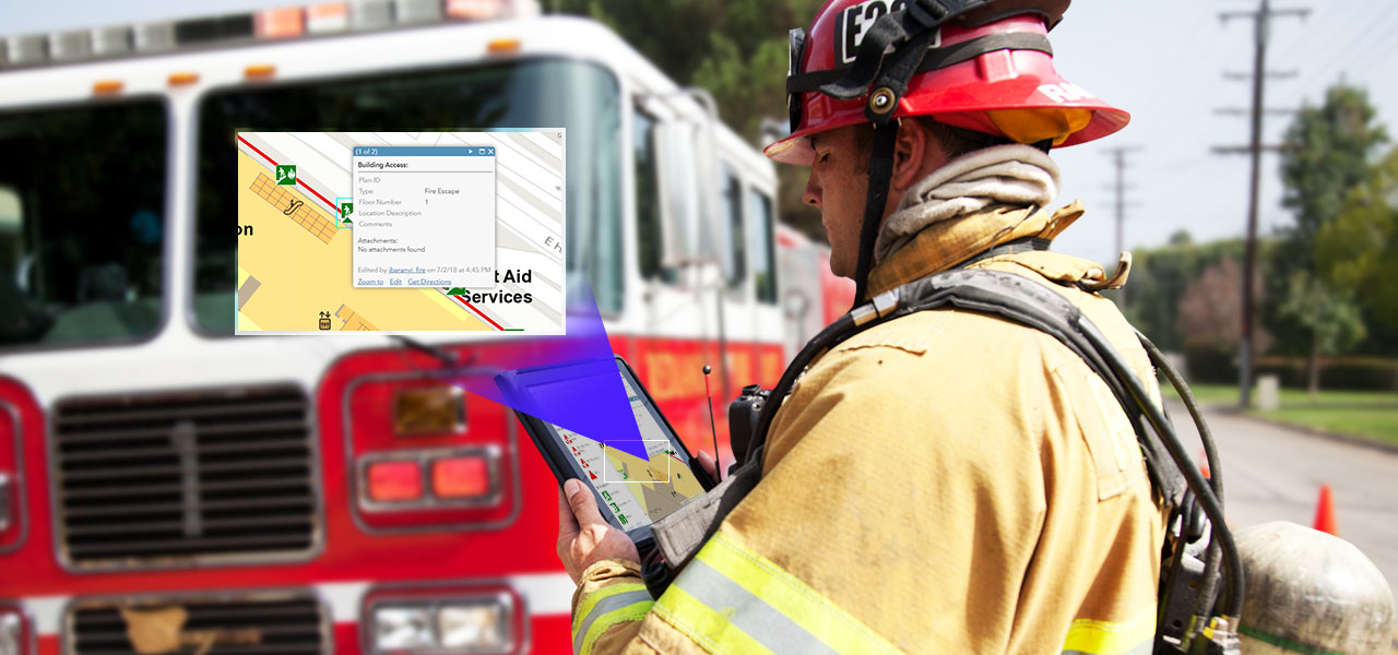
Act
With your plan in place, monitor the situation and make adjustments in real time. ArcGIS provides ready-to-use, live data and integrates sensor data to enhance your situational awareness. Combined with real-time resource and asset tracking with ArcGIS, you have all the information you need to anticipate your next move.
Case Study

Northwest Fire District Embraces Apps to Better Prepare for Emergencies
Northwest Fire District has embraced mobile apps to improve workflows beyond past paper-based practices.

Esri Thailand Cave Case
ESRI (Thailand) Co., Ltd and GIS Co., Ltd., together with Department of Mineral Resources, helps support this rescue mission for 13 missing boys at Tham Luang Nang Non cave by employing GIS technology

Esri Thailand use GIS Technology showing the flood area Before and after the dam broke in Laos
Esri Thailand use GIS Technology showing the flood area in Laos
Preparing to respond to a Disaster
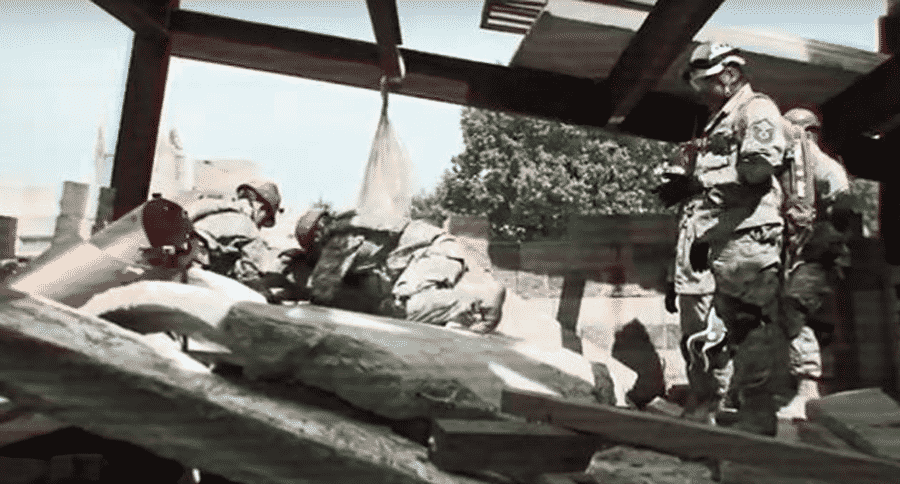
One of the largest regional exercises in the U.S., CAPSTONE 14 involved eight states exercising their preparedness to respond to a catastrophic disaster.

Maintain Situational Awareness and Connect Communities During Disasters Using ArcGIS
Discover the power of ArcGIS to manage emergencies and the flow of public information.