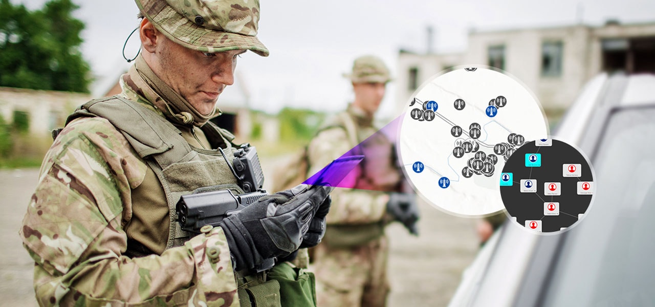
ArcGIS can be integrated into all areas of military operations, such as command and control, intelligence, surveillance and Reconnaissance: ISR. Esri offers authoritative geospatial data, services, and applications for a wide variety of security workflows. Strengthen national security with actionable, data-driven geospatial intelligence that informs operations. Makes it possible to see the overall picture, analyze and make a better and faster decisions in various situations.
Agency Collaboration
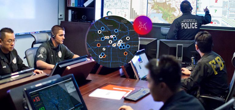
The Homeland Security Enterprise includes federal, state, and local public safety agencies; local leaders; community-based organizations; the private sector; and international partners. When location is a common identifier, information can be integrated and shared regardless of which organization owns it.


Infrastructure and event security
Protecting Critical Infrastructure and Key Resources (CIKR) is paramount to safety and economic stability. ArcGIS can support security workflows for schools, business parks, stadiums, military bases, and government facilities. Prevention and response at the campus level (both indoors and outdoors) are necessities in the complex security environment we live in today.
Intelligence operations and analysis
A configurable intelligence workflow is a process-based approach that goes beyond using GIS technology to support common operating pictures for visualization. Move toward leveraging GIS as a system of insight that supports the entire intelligence life cycle from border security to preventing incidents associated with guns, gangs, drugs, and terrorism.

ArcGIS can be integrated into all areas of military operations, such as command and control, intelligence, surveillance and Reconnaissance: ISR. Esri offers authoritative geospatial data, services, and applications for a wide variety of security workflows. Strengthen national security with actionable, data-driven geospatial intelligence that informs operations. Makes it possible to see the overall picture, analyze and make a better and faster decisions in various situations.

Agency Collaboration
The Homeland Security Enterprise includes federal, state, and local public safety agencies; local leaders; community-based organizations; the private sector; and international partners. When location is a common identifier, information can be integrated and shared regardless of which organization owns it.

Infrastructure and event security
Protecting Critical Infrastructure and Key Resources (CIKR) is paramount to safety and economic stability. ArcGIS can support security workflows for schools, business parks, stadiums, military bases, and government facilities. Prevention and response at the campus level (both indoors and outdoors) are necessities in the complex security environment we live in today.

Intelligence operations and analysis
A configurable intelligence workflow is a process-based approach that goes beyond using GIS technology to support common operating pictures for visualization. Move toward leveraging GIS as a system of insight that supports the entire intelligence life cycle from border security to preventing incidents associated with guns, gangs, drugs, and terrorism.
