Solution

Emergency Communication
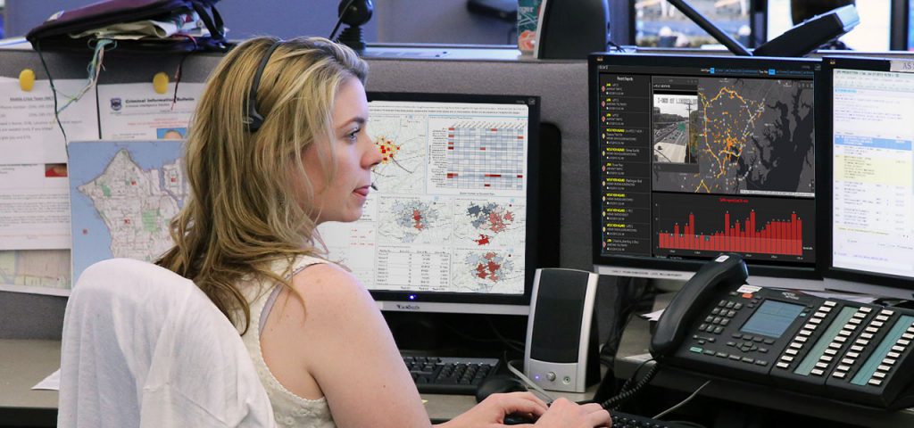
GIS helps 911 systems and Public Safety Answering Point (PSAP) personnel identify dispatchable addresses more quickly during unfolding events. The ArcGIS platform accurately displays available resources and provides first responders and call centers with more reliable routes, reducing emergency response times and saving lives.
Emergency Management
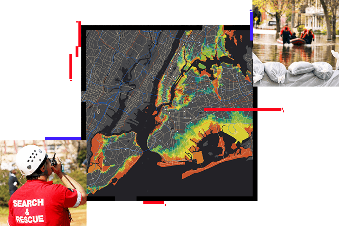
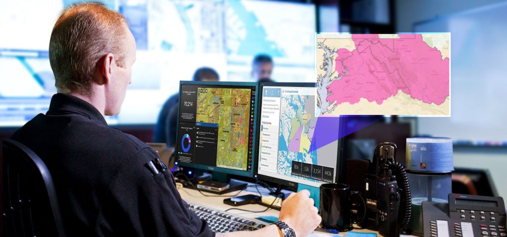
Creating safer, less vulnerable communities in “the new normal” requires a modern approach to understanding threats and hazards that are more complex, costly, and devastating than ever before. Agencies around the world rely on the Esri Geospatial Cloud every day to plan for and mitigate complex threats and hazards and coordinate response and recovery efforts when disasters and emergencies occur.
With location intelligence and emergency management solutions from Esri, you’ll develop a deeper understanding of risk in the new normal and maintain real-time data insights to help you anticipate your next move.


Fire Rescue and EMS
Emergency incidents have claimed lives, destroyed thousands of structures, prompted evacuations, and impacted localities. The expanding population and extreme weather conditions have magnified the impact of these incidents. The response and recovery to these increasingly complex events impact municipal budgets, local economies, and the communities we serve.
Crime Analysis
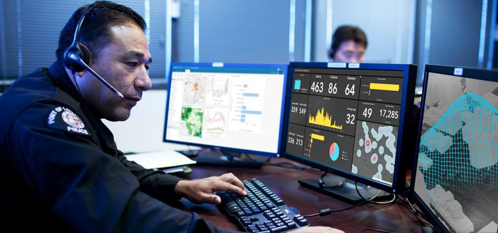
Whether police departments are analyzing crime patterns, managing special operations, or on patrol, smart maps can help law enforcement agencies keep your community safe. Geographic information system (GIS) maps make information actionable. Visualize, analyze, and share data with interactive maps. Empower personnel with real-time location insight for better decision-making.

Solution

Emergency Communication
GIS helps 911 systems and Public Safety Answering Point (PSAP) personnel identify dispatchable addresses more quickly during unfolding events. The ArcGIS platform accurately displays available resources and provides first responders and call centers with more reliable routes, reducing emergency response times and saving lives.

Emergency Management
Creating safer, less vulnerable communities in “the new normal” requires a modern approach to understanding threats and hazards that are more complex, costly, and devastating than ever before. Agencies around the world rely on the Esri Geospatial Cloud every day to plan for and mitigate complex threats and hazards and coordinate response and recovery efforts when disasters and emergencies occur.
With location intelligence and emergency management solutions from Esri, you’ll develop a deeper understanding of risk in the new normal and maintain real-time data insights to help you anticipate your next move.

Fire Rescue and EMS
Emergency incidents have claimed lives, destroyed thousands of structures, prompted evacuations, and impacted localities. The expanding population and extreme weather conditions have magnified the impact of these incidents. The response and recovery to these increasingly complex events impact municipal budgets, local economies, and the communities we serve.

Crime Analysis
Whether police departments are analyzing crime patterns, managing special operations, or on patrol, smart maps can help law enforcement agencies keep your community safe. Geographic information system (GIS) maps make information actionable. Visualize, analyze, and share data with interactive maps. Empower personnel with real-time location insight for better decision-making.
