A solution for producing maps and collecting topographic data in the form of software and ready-to use apps. Optimize map production with a variety of tools and simple workflows that remove redundancy, improve accuracy and reduce operational expenses. A complete topographic mapping software, ArcGis for Map Production consists of five processes.
ArcGIS for Map Production provides a comprehensive solution for creating map data, consisting of five workflows.

Data Preparation & Schema Design

Field Data Collection & Monitoring

Map Post-processing

Data Quality Control

Self-Service Data Catalog
ArcGIS for Map Production’s Features

Easy to Use
• Get started with ready-to-use apps. No programming is required.
• Update data with smart forms.
• Collect field data online and offline. Add images, videos and supporting documents easily.

Data Quality & Integrity
• Both automated and semi-automated data reviews are supported.
• Data reviews can be configured to detect errors in spatial and tabular relationships.

Integrated with Enterprise System
• Supported RDBMS include Microsoft SQL Server, Oracle and PostgreSQL.

Flexibility
• Get started easily and promptly, as the software is available both on the cloud and on premise.
• The software can be run using laaS in the cloud and in virtualized environments such as Microsoft Azure and Amazon Web Services (AWS).

Collaboration & Engagement
• Share content across the organization in real time.
• Search for information on the web through the self-service data catalogue.
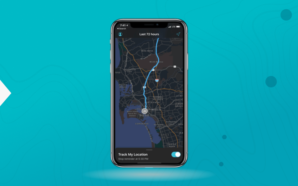
Real-time Location Tracking
• Track current location and view the tracks of field crew in real time.
• Privacy settings can be restricted as needed.


High Accuracy Data Collection with GNSS Receivers
• Pair it with leading surveying equipment such as Leica Zeno FLX100 or SatLab SLC GNSS Receiver.
• High-accuracy data collection is enabled, with only a few centimeters of error tolerable.
• GPS averaging is supported, to reduce spatial error.
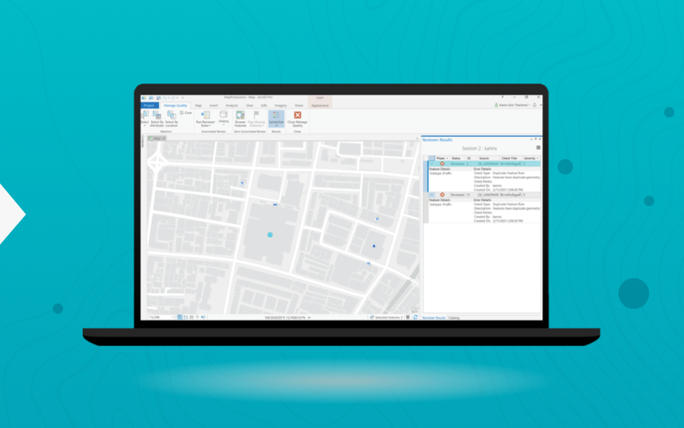
Advanced Quality Control with Data Reviewer
• Data checked for spatial and tabular accuracy.
• Over 30 data reviewer checks are available.
• Create a custom check, with no scripts needed.

A solution for producing maps and collecting topographic data in the form of software and ready-to use apps. Optimize map production with a variety of tools and simple workflows that remove redundancy, improve accuracy and reduce operational expenses. A complete topographic mapping software, ArcGis for Map Production consists of five processes.
ArcGIS for Map Production provides a comprehensive solution for creating map data, consisting of five workflows.

Data Preparation & Schema Design

Field Data Collection & Monitoring

Map Post-processing

Data Quality Control

Self-Service Data Catalog
ArcGIS for Map Production’s Features

Easy to Use
• Get started with ready-to-use apps. No programming is required.
• Update data with smart forms.
• Collect field data online and offline. Add images, videos and supporting documents easily.

Data Quality & Integrity
• Both automated and semi-automated data reviews are supported.
• Data reviews can be configured to detect errors in spatial and tabular relationships.

Integrated with Enterprise System
• Supported RDBMS include Microsoft SQL Server, Oracle and PostgreSQL.

Flexibility
• Get started easily and promptly, as the software is available both on the cloud and on premise.
• The software can be run using laaS in the cloud and in virtualized environments such as Microsoft Azure and Amazon Web Services (AWS).

Collaboration & Engagement
• Share content across the organization in real time.
• Search for information on the web through the self-service data catalogue.

Real-time Location Tracking
• Track current location and view the tracks of field crew in real time.
• Privacy settings can be restricted as needed.

High Accuracy Data Collection with GNSS Receivers
• Pair it with leading surveying equipment such as Leica Zeno FLX100 or SatLab SLC GNSS Receiver.
• High-accuracy data collection is enabled, with only a few centimeters of error tolerable.
• GPS averaging is supported, to reduce spatial error.

Advanced Quality Control with Data Reviewer
• Data checked for spatial and tabular accuracy.
• Over 30 data reviewer checks are available.
• Create a custom check, with no scripts needed.
