
30 Nov What Is a Digital Twin
Industry and government organizations are facing challenges in every area of their business. They work hard to adapt to and leverage digital technology. Yet they often face today’s challenges with yesterday’s methods. In the struggle to remain relevant and thrive, organizations are looking to update to modern advanced information technology (IT) and operational technology (OT) solutions. To achieve these transformation objectives, these organizations need to reinvent the way they do business and change many legacy operating models and processes. To effect the desired change, organizations need scalable solutions that not only meet today’s challenges but also align to their strategic future vision. ArcGISฎ technology is the foundation for digital twins, providing solutions to achieve these organizations’ vision and their transformation objectives.
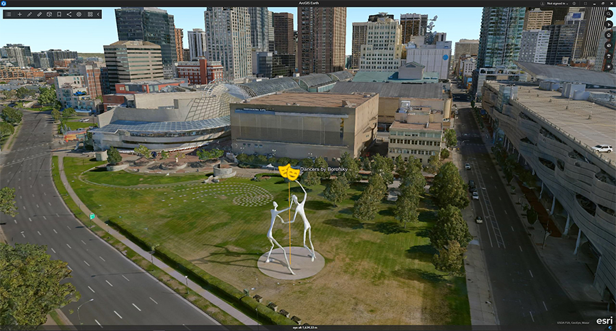
What Is a Digital Twin?
Digital twins are virtual representations of the real world including physical objects, processes, relationships, and behaviors. A digital twin in a geographic context represents real-world assets or natural systems along with information models, data, reports, analyses, and behaviors in spatial context to the natural and built world. Digital twins may be used to represent the current, past, or even future state of assets. Digital twins mirror what exists in the real world today, but
also can forecast what may exist in the future.
The concept of a digital twin originated in the product manufacturing industry. Precise digital models of complex objects, such as airplanes or cars, were
captured in a database for purposes of reporting, analyzing, and eventually simulating and testing an object’s performance. The original digital twin concept helped move asset data from strictly being used for finance and cost accounting to being used for performance and operational analyses that could then be iterated back into the financial perspective of the asset’s manufacture and sales.
In the last several years, the convergence of GIS technology, the Internet of Things (IoT), and—most recently—building information modeling (BIM) has created interactive 3D visualizations, which are redefining the digital twin as well as the value it brings to organizations. A digital twin is not a single product or solution—it is a complex network of technologies and systems. It must work in harmony to
achieve the desired transformational outcomes and return on investment that organizations desire. As digital twin adoption increases, the possibilities and applications of digital twins continues to evolve and create value in almost every industry and organization.
The evolution of GIS technology and the deployment of IoT sensors have resulted in unprecedented amounts of data, which can now be processed, analyzed, and visualized in innovative ways. As IoT and GIS adoption increases and their applications mature, the future is becoming increasingly intelligent and automated. GIS and IoT technologies are connecting systems and data in new ways, enabling the transformation of many organizational workflows. The innovation and integration of these technologies are creating a modern digital nervous system and enabling real-time integrated digital twins.
Digital twins are abstracting and modeling everything. They offer a means to improve business processes, reduce risk, optimize operational efficiencies, and enhance decision-making with automation to predict future outcomes. Digital twins provide greater context to meet business challenges by creating relationships and streamlining workflows. Digital twins are used to observe and monitor current performance, represent accurate historical views, and predict future states. A digital twin of a fixed asset or real-world system benefits directly from the integration with geographic information system (GIS) technology. GIS adds spatial context around the asset, connecting the information model to other models and its surroundings. GIS creates digital twins of natural and built environments, and it can also be used to integrate many different digital representations of the real world.
Esri’s ArcGIS software provides out-of-the-box solutions that enable the creation, visualization, and analysis of digital twins. Easy-to-use applications streamline workflows, and maps and apps can be embedded in websites to provide access to essential information to improve understanding and business decision-making.
Unleashing GIS Technology’s potential in every industries