
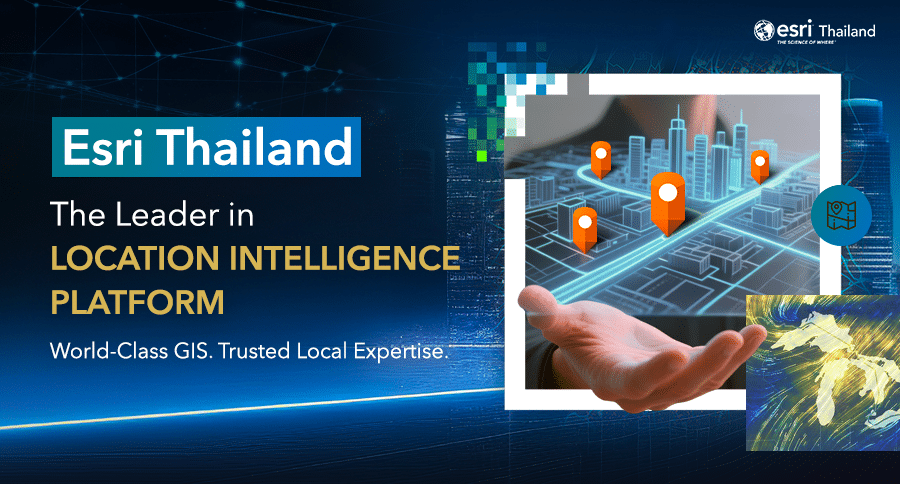
20 Jan Esri Thailand – Driving Business Growth with a World-Class Location Intelligence Platform
Esri Thailand – Driving Business Growth with a World-Class Location Intelligence Platform
In today’s highly competitive and uncertain business environment, slow or inaccurate decision-making can result in missed opportunities. Organizations that achieve sustainable growth are those that can rapidly transform large volumes of data into actionable strategic insights.
One of the most critical data types is spatial data—the foundational layer that connects every aspect of a business, including customers, assets, operations, infrastructure, and supply chains. Spatial data enables organizations to clearly understand what is happening, where it is happening, why it is happening, and how to respond effectively. This is the core of Location Intelligence—not merely a supporting tool, but a strategic foundation for decision-making and enterprise planning in the digital era.
Esri Thailand is the authorized provider of ArcGIS, the world’s No.1 GIS and Location Intelligence Platform from the United States. We empower organizations across Thailand to apply Location Intelligence in real-world business contexts, enabling data-driven strategies that deliver measurable results. By working closely with leading public and private sector organizations, Esri Thailand helps enhance data analytics, strategic planning, and enterprise management to support stable, scalable, and long-term growth.
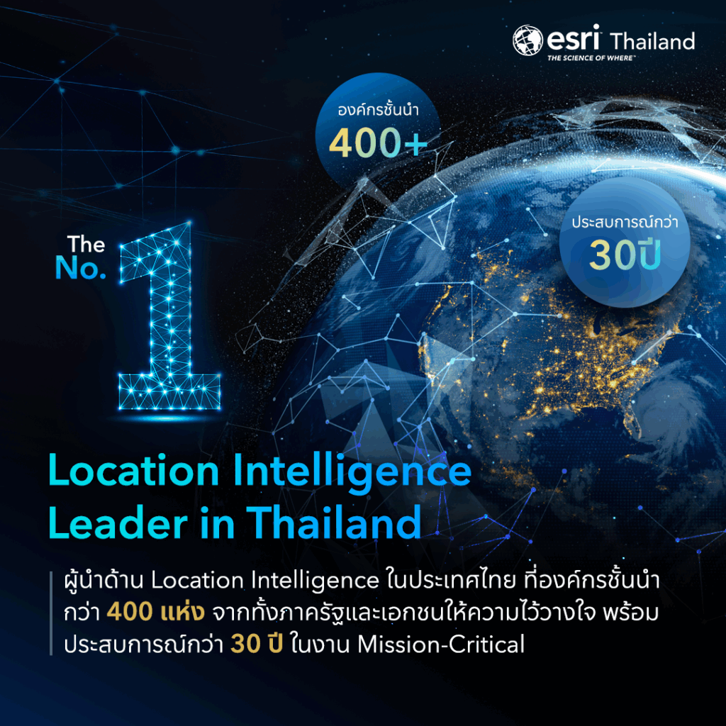
The World’s No.1 Location Intelligence Leader
Esri Thailand is a leading provider of Location Intelligence and the developer of ArcGIS, the world’s most trusted GIS platform. ArcGIS is used by leading organizations worldwide and by more than 400 organizations in Thailand, spanning both public and private sectors.
With over 30 years of experience in Thailand, Esri Thailand has deep expertise in adapting ArcGIS to local business environments, data infrastructures, and organizational challenges—especially for mission-critical operations that demand high reliability, security, and international standards. This reinforces ArcGIS’s role as a strategic enterprise platform and the global foundation for spatial data infrastructure.
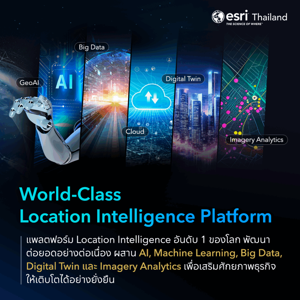
World-Class GIS Technology with the ArcGIS Platform
Esri has evolved ArcGIS beyond traditional mapping software into a comprehensive Location Intelligence Platform that integrates advanced technologies such as AI, Machine Learning, Big Data, IoT integration, and Digital Twin. These capabilities enable organizations to achieve higher accuracy, faster insights, and long-term scalability in the digital economy.
ArcGIS continuously supports cutting-edge technologies, including:
-
AI and GeoAI for advanced spatial analytics, predictive modeling, and proactive decision-making
-
Digital Twin for simulating real-world environments, infrastructure, and cities for precise planning and management
-
Cloud GIS for flexible, scalable, and cloud-native enterprise operations
-
Imagery Analytics and 3D GIS for advanced analysis of satellite imagery, aerial photography, and 3D spatial data
ArcGIS also enables organizations to integrate data from multiple sources, perform systematic spatial analysis, and communicate insights through intuitive dashboards and web applications—all within a single platform, supporting decisions from executive strategy to operational execution.
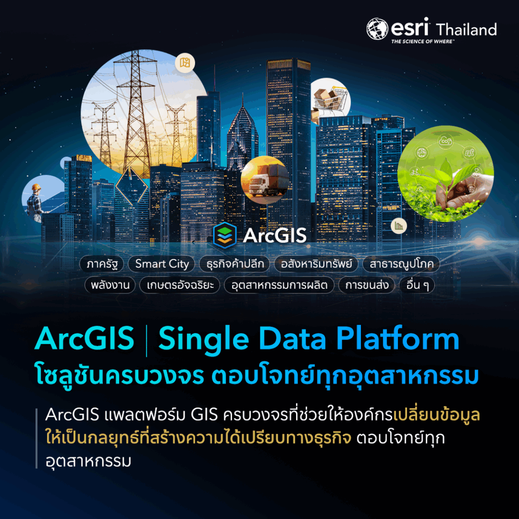
ArcGIS Single Data Platform – A Comprehensive Solution for Every Industry
ArcGIS by Esri is a comprehensive GIS and Location Intelligence Platform designed to help organizations transform spatial data into a competitive advantage. As a Single Data Platform, ArcGIS supports data integration, analysis, planning, and predictive analytics through intelligent tools within one unified environment.
ArcGIS serves a wide range of industries, including:
-
Government and Smart Cities
-
Retail and Real Estate
-
Utilities and Energy
-
Agriculture and Precision Farming
-
Manufacturing and Transportation & Logistics
By visualizing enterprise data on maps and revealing spatial relationships, ArcGIS enables faster, more accurate decision-making and helps organizations turn insights into strategies that support long-term growth and adaptability.
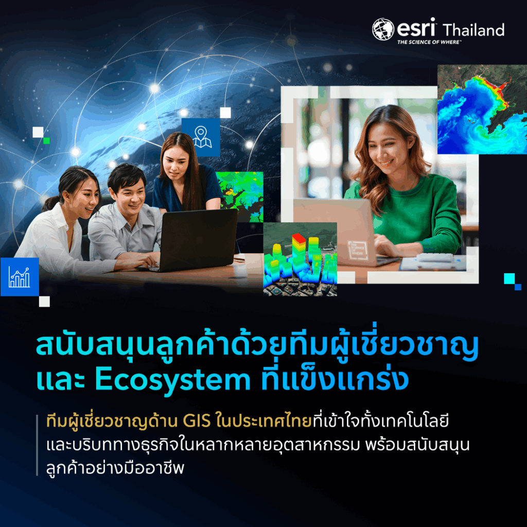
Expert Support and a Strong Location Intelligence Ecosystem
A key strength of Esri Thailand is its highly experienced GIS expert team, with deep understanding of both advanced technology and diverse industry contexts in Thailand. We work closely with customers throughout the entire journey—from strategic consulting and solution design to project implementation, training, knowledge transfer, and post-deployment support—ensuring organizations fully leverage the value of ArcGIS and achieve measurable business outcomes.
Esri Thailand also connects customers and partners to the world’s largest GIS Community, fostering continuous learning, experience sharing, and access to the latest GIS innovations. This collaboration strengthens the national Location Intelligence ecosystem, connecting organizations, users, and partners across industries.
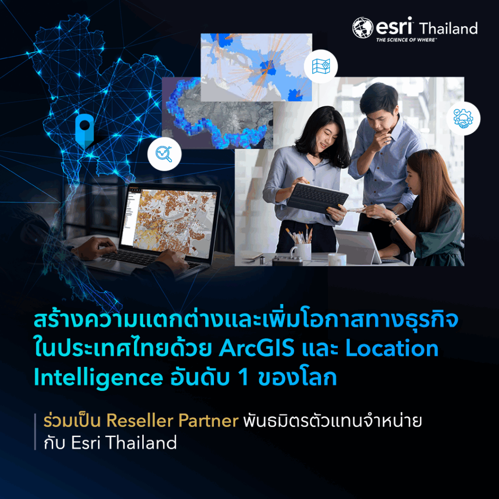
Expand Business Opportunities with a Global Location Intelligence Platform
Esri Thailand actively collaborates with business partners to expand market opportunities and create new value across Thailand, Laos, and Cambodia through the world’s leading ArcGIS Location Intelligence Platform.
As a Reseller Partner, organizations can extend and develop solutions tailored to market needs while strengthening their long-term business capabilities. Partnership opportunities include:
-
Delivering world-class Location Intelligence solutions powered by ArcGIS
-
Expanding business opportunities across industries such as Retail, Real Estate, Logistics, Utilities, Smart Cities, Agriculture, and AEC
-
Receiving end-to-end support from Esri experts, including product training, workshops, pre-sales support, co-marketing, and reliable technical services
-
Creating added value and competitive differentiation by enhancing existing solutions with Location Intelligence for deeper, more precise customer insights
Link
Explore partnership opportunities with Esri Thailand
Let’s shape the future of Location Intelligence together
.