
ArcGIS Drone2Map
What will your drone do for you?


What will your drone do for you?
What will your drone do for you?
Turning drone collections into authoritative images and 3D models, in minutes.
ArcGIS Drone2Map streamlines the creation of professional imagery products from drone-captured imagery by implementing our professional photogrammetry suite, powered by Pix4D. Helping you to generate products quickly for visualization and analysis.

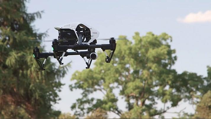
Use the drone and camera that meets your needs, and perform in-field image processing to verify the coverage and quality of your imagery collection.

Simplify and streamline your ground control workflow by using ArcGIS Collector to capture high-accuracy points that are ready for integration into your ArcGIS Drone2Map project

Automate your image processing routine with the industry’s easiest-to-use drone image processing software. In a few clicks, produce stunning 2D and 3D products that your entire enterprise can use for analysis and visualization.
ORTHOMOSAIC – Get updated aerial views at the push of a button. Create your own basemaps, perform image analysis, and measure features.
ELEVATION PRODUCTS – Create topographic models of your project area with highly detailed digital surface models. Model the natural landscape of your project area with digital terrain models and contours.


VISUALIZATION – 3D textured meshes support modeling, planning, and collaboration on any scale.
ANALYSIS – 3D point clouds enable analysis of natural and built-up features including volumetric measurements, change detection, lines of sight, and obstructions.
Share your Drone2Map products directly to ArcGIS Online or ArcGIS Enterprise for collaboration across your organization.
Learn more
Calculate volume and elevation profiles directly from Drone2Map. Launch your imagery products into ArcGIS Pro with the click of a button to access advanced analysis workflows.
Learn more
Share 2D imagery in its native format and resolution for cataloging, search and discovery, and analysis at scale.
Learn more
Turning drone collections into authoritative images and 3D models, in minutes.
ArcGIS Drone2Map streamlines the creation of professional imagery products from drone-captured imagery by implementing our professional photogrammetry suite, powered by Pix4D. Helping you to generate products quickly for visualization and analysis.
Use the drone and camera that meets your needs, and perform in-field image processing to verify the coverage and quality of your imagery collection.
Simplify and streamline your ground control workflow by using ArcGIS Collector to capture high-accuracy points that are ready for integration into your ArcGIS Drone2Map project
Automate your image processing routine with the industry’s easiest-to-use drone image processing software. In a few clicks, produce stunning 2D and 3D products that your entire enterprise can use for analysis and visualization.
ORTHOMOSAIC – Get updated aerial views at the push of a button. Create your own basemaps, perform image analysis, and measure features.
ELEVATION PRODUCTS – Create topographic models of your project area with highly detailed digital surface models. Model the natural landscape of your project area with digital terrain models and contours.
VISUALIZATION – 3D textured meshes support modeling, planning, and collaboration on any scale.
ANALYSIS – 3D point clouds enable analysis of natural and built-up features including volumetric measurements, change detection, lines of sight, and obstructions.
Share your Drone2Map products directly to ArcGIS Online or ArcGIS Enterprise for collaboration across your organization.
Learn more
Calculate volume and elevation profiles directly from Drone2Map. Launch your imagery products into ArcGIS Pro with the click of a button to access advanced analysis workflows.
Learn more
Share 2D imagery in its native format and resolution for cataloging, search and discovery, and analysis at scale.
Learn more