ArcGIS for Health
Solutions for organization-level health work

ArcGIS for Health Care
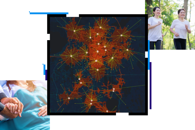
The software collects patients’ data as interactive maps. It manages access to public health services and enables effective use of resources.
• Location-based display that can be used as a framework to predict the distribution of diseases
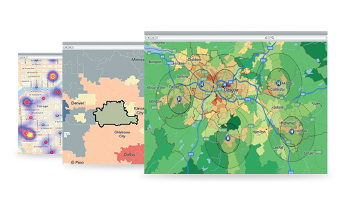
• Analyse accessibility to public health service units based on the length of time it takes to get there or distance from a patient’s location to assess the preparedness to provide public health services in each area.
• Analyse areas of responsibility for an effective allocation of medical equipment or deployment of mobile units to serve people in remote areas.
ArcGIS for Disease Planning
A tool that analyse areas at risk of epidemics or communicable diseases
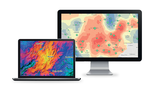
• Capable of designating factors that affect the spread of diseases for analyses such as humidity and amount of sunlight.
• Present analytical results as maps which are easy to understand and can be used as a basis for plans to curb further spread.


ArcGIS for Emergency Management
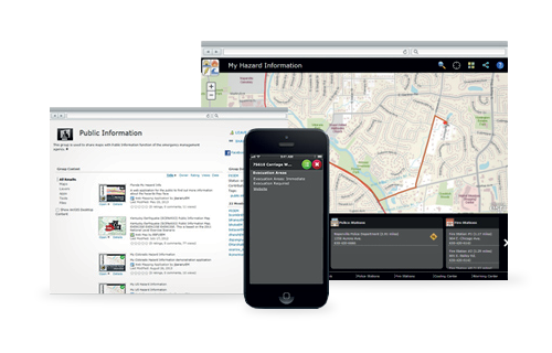
The workflow helps workers cope with emergencies, trim down unnecessary processes, reduce notification time, enhance the accuracy of patients’ location and provide effective navigation to the desired spot.
• Easy-to-use alert system capable of sending the notifier’s location through smart phones.
• The tool can send dispatch to units and personnel closest to the alert location to provide timely assistance to the patient.
ArcGIS for Health
Solutions for organization-level health work

ArcGIS for Health Care
The software collects patients’ data as interactive maps. It manages access to public health services and enables effective use of resources.
• Location-based display that can be used as a framework to predict the distribution of diseases
• Analyse accessibility to public health service units based on the length of time it takes to get there or distance from a patient’s location to assess the preparedness to provide public health services in each area.
• Analyse areas of responsibility for an effective allocation of medical equipment or deployment of mobile units to serve people in remote areas.

ArcGIS for Disease Planning
A tool that analyse areas at risk of epidemics or communicable diseases
• Capable of designating factors that affect the spread of diseases for analyses such as humidity and amount of sunlight.
• Present analytical results as maps which are easy to understand and can be used as a basis for plans to curb further spread.

ArcGIS for Emergency Management
The workflow helps workers cope with emergencies, trim down unnecessary processes, reduce notification time, enhance the accuracy of patients’ location and provide effective navigation to the desired spot.
• Easy-to-use alert system capable of sending the notifier’s location through smart phones.
• The tool can send dispatch to units and personnel closest to the alert location to provide timely assistance to the patient.
