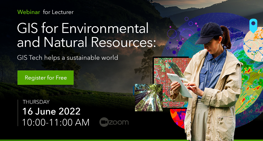
31 May Webinar: GIS for Environmental and Natural Resources – GIS Tech helps a sustainable world
Join our upcoming webinar “GIS for Environmental and Natural Resources: GIS Tech helps a sustainable world” to learn about GIS help ensure sustainable natural resource and environmental management.
Human activities and global warming are rapidly contributing to environmental degradation, unprecedented rainfall, forest degradation, and landslides are among the many problems brought on by environmental changes. These issues need timely monitoring and supervision. Effective monitoring of the environment and an improved understanding of the same requires valuable information and data that can be extracted through application of geospatial technologies such as GIS.
GIS can be used most effectively for environmental data analysis and planning. It allows better viewing and understanding features and the relationships that influence in a given critical environmental condition. Incorporation GIS for natural resources provides a key advantage when working to restore, protect, and preserve natural resources and the environment. While populations and habitats grow and change, environmental agencies turn to GIS technology to help ensure sustainable natural resource and environmental management.