
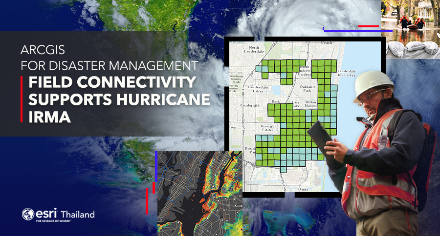
25 May Field Connectivity Supports Hurricane Irma
Hurricane Irma was the first category 5 hurricane of the 2017 hurricane season. The Florida Department of Emergency Management (FDEM) had its location strategy in place. When the hurricane was on the horizon, the department was prepared to rapidly launch more than 60 mission-critical applications.
The state agency, regional agencies, and counties lent their GIS managers, analysts, and technicians to help with disaster management. Under the FDEM’s leadership, they participated in daily GIS coordination calls, managed post-disaster remote-sensing requirements, shared data and resources, and improved outcomes during Hurricane Irma preparedness, response, and recovery operations.
Hurricane Irma left citizens in Key West, Florida, with no power, water, Internet connection, gasoline, or cell phone service. Resources were scarce, and residents had very little food. They desperately needed help. The city’s emergency operations center (EOC) used Esri’s emergency management solutions to conduct the initial damage assessments to get resources where they were needed.
Responders used Esri’s Damage Assessment configuration application on their phones to collect data. The app showed them a map of the immediate area and provided tools for workers to select the location, detail the damage, and add photos to supplement the information for verification.
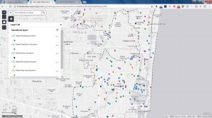
In areas where communications and power were down, the data collection app switched to offline mode. Responders could still see maps and enter survey data. Anytime they entered an area with service, the devices would automatically upload all their collected data to the EOC. If service was unavailable, all their data would be uploaded as soon as they returned to the office and synced their devices with the EOC’s operations dashboard. With each addition, the dashboard showed an updated common operational picture for both the EOC and on every device in the field.
Key West’s damage report met the Federal Emergency Management Agency (FEMA) requirements and proved that a federal disaster declaration was warranted. FEMA had enough detailed damage documentation to declare a major disaster for Key West and provide federal funds for the community and its citizens. The city used the same damage assessment to prioritize and complete recovery work
Unleashing GIS Technology’s potential in every industries