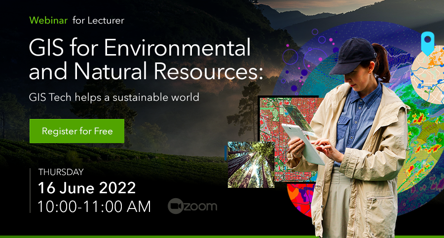
Webinar: GIS for Environmental and Natural Resources – GIS Tech helps a sustainable world

Join our upcoming webinar “GIS for Environmental and Natural Resources: GIS Tech helps a sustainable world” to learn about GIS help ensure sustainable natural resource and environmental management.

Human activities and global warming are rapidly contributing to environmental degradation, unprecedented rainfall, forest degradation, and landslides are among the many problems brought on by environmental changes. These issues need timely monitoring and supervision. Effective monitoring of the environment and an improved understanding of the same requires valuable information and data that can be extracted through application of geospatial technologies such as GIS.

GIS can be used most effectively for environmental data analysis and planning. It allows better viewing and understanding features and the relationships that influence in a given critical environmental condition. Incorporation GIS for natural resources provides a key advantage when working to restore, protect, and preserve natural resources and the environment. While populations and habitats grow and change, environmental agencies turn to GIS technology to help ensure sustainable natural resource and environmental management.

Webinar: GIS for Environmental and Natural Resources: GIS Tech helps a sustainable world
Thursday, June 16, 2022 10:00 – 11:00 AM via zoom


Webinar: GIS for Environmental and Natural Resources – GIS Tech helps a sustainable world

ขอเชิญเข้าร่วมงานสัมมนาออนไลน์ GIS for Environmental and Natural Resources: GIS Tech helps a sustainable world เพื่อเรียนรู้การวิเคราะห์ข้อมูลและวางแผนด้านสิ่งแวดล้อมอย่างมีประสิทธิภาพ

เพื่อให้ผู้ใช้งานสามารถเข้าใจสภาพปัญหาสิ่งแวดล้อมบนพื้นที่ ตลอดจนเห็นความสัมพันธ์ของข้อมูลที่เกิดขึ้น และปัญหาวิกฤติที่ต้องการการแก้ไขอย่างเร่งด่วน เพื่อการพัฒนาและวางแผนด้านสิ่งแวดล้อมและทรัพยากรธรรมชาติที่ยั่งยืน

ปัจจุบันกิจกรรมต่าง ๆ ของประชากรบนโลก ผนวกกับปัญหาของการเกิดสภาวะโลกร้อน (Global Warming) มีผลต่อสภาพสิ่งแวดล้อมโดยรวมอย่างมาก ทั้งด้านคุณภาพสิ่งแวดล้อมที่แย่ลง ฝนไม่ตกตามฤดูกาล การเสื่อมโทรมของป่าไม้ และการเกิดดินถล่ม เป็นต้น ปัญหาเหล่านี้เกิดขึ้นเนื่องจากการเปลี่ยนแปลงของสิ่งแวดล้อม ซึ่งกล่าวได้ว่าปัญหาต่าง ๆ นี้ ต้องอาศัยระยะเวลาในการ ฟื้นฟูและกำกับดูแล รวมถึงพวกเราต้องช่วยกันการเฝ้าระวัง และปลูกฝังจิตสำนึกไปพร้อม ๆ กับการเก็บข้อมูลและพัฒนาฐานข้อมูลเพื่อนำไปวางแผนและพัฒนาด้านสิ่งแวดล้อมต่อไป โดยใช้เครื่องมือสำคัญอย่างเทคโนโลยี GIS

Webinar: GIS for Environmental and Natural Resources: GIS Tech helps a sustainable world
วันอังคารที่ 14 มิถุนายน 2565 เวลา 10:00 – 11:00 น. ผ่าน zoom