
11 May Webinar: ArcGIS for Disaster Management
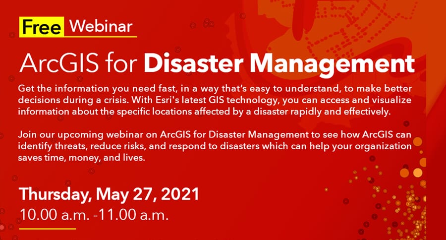
Webinar: ArcGIS for Disaster Management
Date: Thursday, May 27, 2021 Time: 10.00 a.m. -11.00 a.m.
Join our upcoming webinar on ArcGIS for Disaster Management to see how ArcGIS can identify threats, reduce risks, and respond to disasters which can help your organization saves time, money, and lives.
Event details: Get the information you need fast, in a way that’s easy to understand, to make better decisions during a crisis. With Esri’s latest GIS technology, you can access and visualize information about the specific locations affected by a disaster rapidly and effectively.
In this webinar, you will learn the following: • Introduction to Data Integration using GIS • Understanding 3 essential steps of disaster management workflows: preparedness, response, and recovery • A Demonstration of ArcGIS Apps for Disaster Management • How GIS can be applied to COVID-19 pandemic • Q &A session