
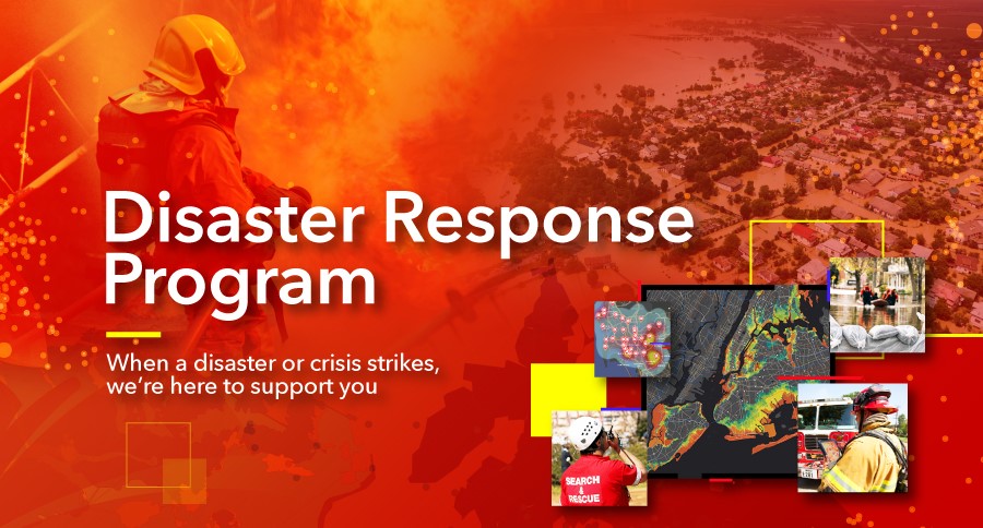
21 Jul Supporting disaster and crisis response with
Every incident contains lessons learned that can be used to better prepare for the next disaster.
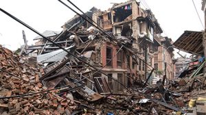
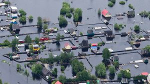
However, today’s disasters are more intense than ever before, wildfires are burning hotter or civil disturbances are more complex. Emergency managers need to change the way they approach response efforts.

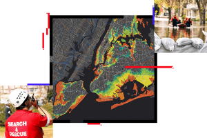
Geographic Information Systems (GIS) technology can help emergency managers to better understand the risks around us, and to anticipate when and where action is needed.
Esri’s Solution for disaster management is fully integrated geographic information system (GIS). The system enables teams, agencies, and partners to maintain shared situational awareness at all points during a disaster response. With real-time data feeds continuously updating configurable, cloud-based dashboards and web maps, information becomes instantly available to inform the public and critical decisions at the same time.
Esri’s solution supports all workflows for disaster response from operational briefings, damage assessments, impact analysis, to public information.
Here are some case studies that using GIS in disaster response.
- Busiest Year on Record – View the COVID-19 resources
- Costly Year of US Disasters – Read about the Hurricane Maria response
- Malaysia Airlines Flight MH17 – Read about the MH17 response
- Deepwater Horizon Gulf Oil Spill – Read about the spill response
Explore live interactive maps and find resources to support various crisis and disaster types supported by the Disaster Response Program.
https://www.esri.com/en-us/disaster-response/overview
Unleashing GIS Technology’s potential in every industries