
24 Feb ArcGIS for Mining
Ever heard the question “where is my haul truck?”, or “where is the risk of rock fall?”, or even “what is the safest route out?” Well, you are not alone! Many typical mining challenges are related to the location of an event, resource or the relationship between these. It makes sense then, that the best way to holistically understand what is happening around us, is to collate all those events and resources using a platform based on geographical location.
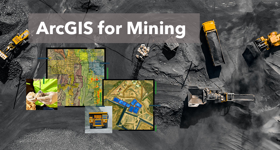
ArcGIS for Mining is a tool for enabling the location of all critical aspects of the mining life-cycle, to be precisely plotted and cross-referenced in order to better visualise and analyse data coming from exploration, development, operations or rehabilitation activities.
ArcGIS for Mining is a flexible, industry-specific solution built using the ArcGIS platform that caters to the needs and challenges of the modern mining business. In principle, ArcGIS for Mining utilises the spatial nature of mining to enable integration of disparate datasets to provide the right information to the right people at the right time. At the core of this approach, is the digital transformation of the mining business through the breakdown of operational silo’s to enable efficient, technology driven decisions, both human-aided and machine-automated, to be made from operational to strategic levels within the business.
Utilising a geographical platform to model the mining business enables a number of high value returns, in both the short and long term. In the short term, time and effort expended in creating and analysing daily, weekly and monthly reporting information, in isolated technical systems can be optimised into an automated, reliable and high integrity process that disseminates information to the right decision makers in real time. Other quick wins include the digitalisation of the full data life-cycle from field data capture, to real-time field data access (e.g. safety routes), to in-situ facilitated data analysis (e.g. geological face mapping or sampling). In the longer term, ArcGIS for Mining is a crucial pillar in the digitalisation of the mining industry, leading to smarter data-driven organisations that can, at the click of a button, view real-time, cross discipline information from any location. Not only does it package and share information, it works actively, through geospatial analytics, to deliver only the critical information about what has happened and what may happen in the near future. This benefit will ultimately change mining companies from traditional manual operations, to smart digital knowledge-driven organisations that can quickly adapt, react and improve on planning and execution.
ArcGIS for Mining works by combining a number of unique capabilities including the ArcGIS technology platform, a flexible mining data model, mining-specific analytical tools, data integration processes, configurable web and mobile apps, mining expertise and vendor alliances to bring a complete end-to-end solution to its users. ArcGIS for Mining is typically implemented in stages that produce growing value over time. The initial operating capacity provides quick and universal access to critical datasets such as high resolution imagery, lidar, site plans and the like via simple to use web and mobile applications. As the solution is embedded, additional functionality is configured (i.e. no code, or low code) to support more complex workflows, integrations and analytics supporting the technical disciplines across the organisation.
Explore more at
Esri thailand Field Operations
Field Operations App Suite for ArcGIS
Unleashing GIS Technology’s potential in every industries
Read more