
12 Oct ArcGIS Field Maps is an all-in-one app
ArcGIS Field Maps is Esri’s mobile application that helps mobile workers collect, edit data, and report their real-time locations within one single app.
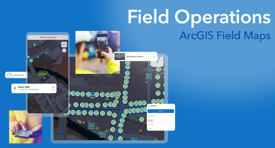
With simple map viewing and map markup capabilities, combined with high-accuracy field data collection capabilities and location tracking – ArcGIS Field Maps is the app you need to perform many field activities completely within one app, so you don’t need to switch between apps like you used to do. It also enables field workers to see asset information on their mobile devices, even when disconnected.
Field Maps brings together the capabilities of these well-known field operations apps including ArcGIS Explorer, ArcGIS Collector, and ArcGIS Tracker.
ArcGIS Field Maps also includes a web application, that supports administrative and office workflows. It allows officers and managers to configure and deploy maps for their field workers, create smart forms simply by drag-and-drop actions, and track worker locations—all without a single line of coding.
Esri will include the tasking capabilities of ArcGIS Workforce and the routing and navigation capabilities of ArcGIS Navigator later soon.
Interested in learning how you can improve efficiency in your field operations? Learn more at https://www.esrith.com/kh/products/arcgis-field-maps/