
20 Jul ArcGIS 3D Base Maps Solution helps in better planning and managing the city
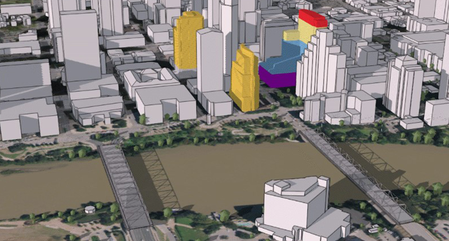
Most of the global population currently lives in urban areas, and this is expected to increase in the future. Many organizations such as national, local government, and utility companies need to plan for populations that are larger, denser, and more demanding of resources than ever before. 3D visualization and analysis is becoming an important capability for these organizations, especially for planning and community engagement.
What are the benefits of viewing city data in vector 3D base maps?
The ability to view the community in 3D can give internal stakeholders and the public a better understanding of what is happening in the community, allowing for faster and more engaged decision-making processes. Users can query and filter data to view attributes information of each element.
The ArcGIS 3D Base Maps Solution includes a series of workflows that can be used by mapping technicians to create and maintain a 3D baseman for their organization, by using existing data such as lidar, building footprints and underground utility features. The output of the workflows is a collection of 3D layers which can be used to serve as a 3D base map for desktop, mobile, and web mapping applications.
Once you have created 3D base layers, you can publish them as a 3D base map which can be used across the ArcGIS system and viewed directly in the browser. When you deploy the 3D Base maps solution in your ArcGIS organization, you will get an ArcGIS Pro project that can be used by GIS staff to create 3D base maps for your organization. The project contains preconfigured tasks that provide step-by-step process to guide you to create a 3d model of city components from building, wire, electricity posts, and river.
Visit the ArcGIS Solutions website for more information.
Unleashing GIS Technology’s potential in every industries