
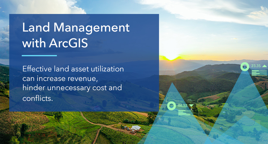
25 Mar Land Management with ArcGIS
Land Management is one of the most important aspects in real estate development activities. Effective land asset utilization can increase revenue and hinder unnecessary cost and conflicts.
The Challenges
Most of land asset data is stored in CAD and hard-copy formats without real-world location information.
This lack of geographic reference will make collaboration difficult, and in the long run potentially incur massive loss for your organization.
Asset data as vital as land asset should be managed properly and shared across related departments to ensure everyone can get the most updated data for legal, finance, and planning purposes.
Enable your Enterprise GIS
With ArcGIS platform, you can collect and share your land data across departments through one centralized portal. Engage stakeholders, avoid data duplication, and make sure you can make decisions based on up-to-date information.
From field data survey to management dashboards, ArcGIS has configurable apps to get you covered. Integrate with existing enterprise system such as ERP or your in-house payment system, and ensure your data creators can maintain high-quality parcel data with our Desktop tools and Enterprise Geodatabase.
Tools that make land management more efficient:
- ArcGIS Pro, powerful tools to create and edit parcel data, can create and do quality check on your data, so you can draw high quality parcel.
- Ready–to–use mobile apps can obtain field data from your smartphone and view the result in real-time through web apps and dashboard.
- Web-based parcel viewer can share your land data in real-time across your organization. Simply view up-to-date data in your browser to see your parcel geometry, attributes, and attachments.
If you are interested in learning more about our mining solutions, click
Store your data with smartphone
https://www.youtube.com/watch?v=MsXLhgMXpbY
Search and publish land plots
Track the status of land plots
Manage land plots
Unleashing GIS Technology’s potential in every industries