

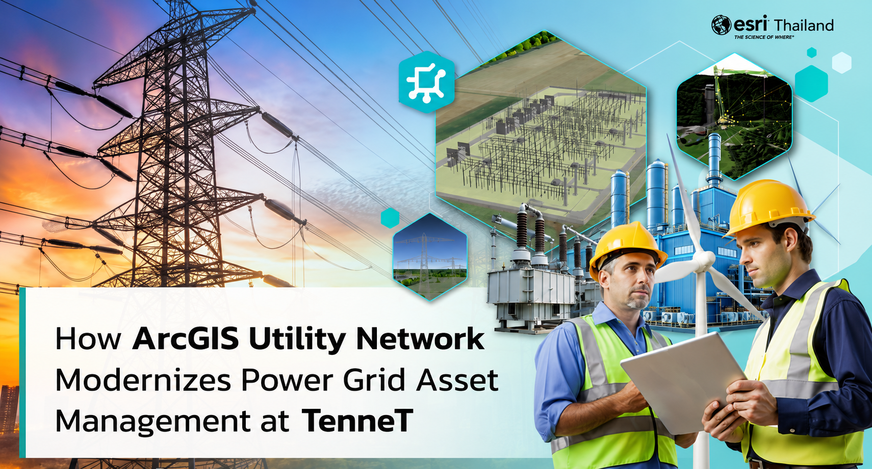
08 Jul How ArcGIS Utility Network Modernizes Power Grid Asset Management at TenneT
“ArcGIS Utility Network helps us standardize asset data across the organization and support the entire asset lifecycle more efficiently. Every department can access accurate and up-to-date information from a single system, while field crews can capture and update data directly from mobile devices. This improves field productivity, reduces duplicate data, and provides valuable insights for better decision-making across TenneT.”
Transforming Asset Data Management with 3D ArcGIS Utility Network
TenneT is one of Europe’s leading electricity transmission system operators (TSOs), managing more than 26,000 kilometers of high-voltage transmission lines and over 500 substations across the Netherlands and much of Germany. The company plays a key role in delivering a reliable electricity supply and supporting Europe’s energy transition.
As its network continued to grow, managing asset information became increasingly complex. Data was stored across multiple systems, making it difficult to maintain accurate and consistent information. Different teams often worked with different versions of the same data, while some legacy systems were no longer able to support the organization’s growing operational needs.
To solve these challenges, TenneT implemented ArcGIS Utility Network as the central platform for managing its utility network and asset information. The new system provides one reliable source of asset data, allowing every department to access the same accurate and up-to-date information.
TenneT also integrated ArcGIS with SAP S/4HANA, connecting GIS data with business information in one platform. By adding 3D GIS capabilities, the company created a Digital Twin of its electricity transmission network, making it easier to visualize assets, understand network connectivity, and improve planning, maintenance, and long-term asset management.
How ArcGIS Utility Network Improved Power Grid Management
ArcGIS Utility Network has transformed the way TenneT manages its electricity network and critical infrastructure. The platform connects information from GIS, SAP, SCADA, IoT sensors, and other operational systems into a single source of truth. With all asset information available in one place, employees can work with accurate and consistent data across the entire organization.
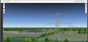
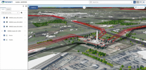
The integrated data also supports a Digital Twin of the electricity network. Through an interactive 3D view, engineers and decision-makers can monitor asset conditions, analyze network connectivity, and better understand how the system operates in real time.
With better visibility and more reliable data, TenneT can improve maintenance planning, respond to outages more quickly, optimize daily operations, and make more informed strategic decisions. These capabilities also support the development of a smarter and more resilient power grid for the future.
Key Capabilities of ArcGIS Utility Network
3D Visualization
ArcGIS Utility Network provides a 3D view of the electricity network, helping engineers and field crews clearly understand the location and connectivity of assets. Visualizing the network in three dimensions makes planning, inspections, and maintenance more efficient.
Advanced Network Tracing
Engineers can trace the flow of electricity through the network with greater accuracy, including phase-level analysis. This helps teams quickly evaluate the impact of maintenance work, outages, or network upgrades before changes are made.
Automatic Quality Control
Built-in Attribute Rules automatically validate asset information during data editing. This helps reduce data entry errors, prevent incomplete records, and maintain high-quality asset data across the organization.
Connecting Data to Build the Smart Grid of the Future
By bringing electricity network data from both the Netherlands and Germany into one platform and integrating ArcGIS Utility Network with SAP ERP, TenneT established a single source of truth for managing its utility assets.
The result is better visibility, more accurate data, and improved collaboration across the organization. Teams can manage the entire asset lifecycle more efficiently—from planning and engineering to operations, maintenance, and long-term investment decisions.
More importantly, the project represents far more than a technology modernization initiative. It provides the digital foundation for Europe’s ongoing energy transition. With standardized, connected, and reliable asset information, TenneT is better equipped to optimize grid operations, support the rapid growth of renewable energy, and build a smart, resilient, and sustainable power grid capable of meeting future energy demands.
Explore ArcGIS Utility Network for Utilities and Telecommunications
ArcGIS Utility Network helps utility and telecommunications organizations modernize network management by connecting GIS, asset information, and enterprise systems into a single operational platform. The result is greater operational efficiency, improved data quality, and better decision-making across the entire asset lifecycle.
For more information about ArcGIS Utility Network and Utility Network Information Management solutions, please contact:
Tel: +66 2 678 0710, +66 2 678 0714
Email: esrith.bdi@cdg.co.th