
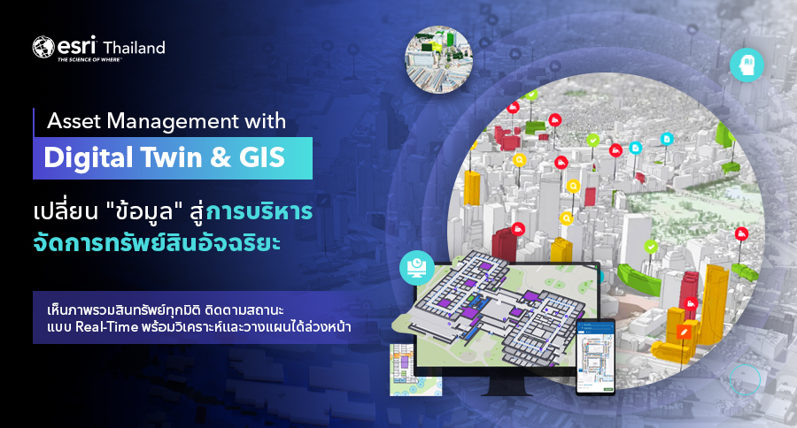
25 Jun Asset Management with Digital Twin & ArcGIS
Transforming Asset Data into Smart Operations
In a world where data is an asset, modern asset management goes beyond simply knowing where your assets are. It’s about understanding their real-time status, operational readiness, and maintenance needs—so you can make smarter, faster, and more strategic decisions.
That’s why the combination of Digital Twin and GIS (Geographic Information System) is emerging as a powerful force to drive smarter, more connected, and more sustainable asset management across industries.
Digital Twin + GIS: From Data to Smart Management
A Digital Twin is more than just a 3D model of an asset—it’s a dynamic, virtual replica of real-world infrastructure, enriched with real-time data from IoT sensors, imagery, SCADA systems, and geospatial sources.
When integrated with ArcGIS, the world’s leading GIS platform, a Digital Twin becomes not just a visualization tool, but a real-time operational platform for monitoring, analyzing, and managing assets across facilities, infrastructure networks, and even entire cities.
3 Core Dimensions of Asset Management with ArcGIS
ArcGIS empowers organizations to manage assets in a connected, end-to-end way—from field visibility to executive-level planning. Here’s how:
1.Asset Monitoring
Real-Time Visibility into Every Asset
- Visualize the location and status of assets across buildings, campuses, or entire cities in 2D and 3D
- Integrate real-time data from IoT sensors (e.g., pressure, temperature, vibration)
- Receive alerts and updates instantly when anomalies or malfunctions occur
2.Maintenance & Inspection
Plan and Track Maintenance with Precision
- Schedule inspections based on asset age and condition, with automated alerts for due tasks
- Use mobile apps to capture on-site photos, notes, and maintenance records
- Instantly access asset maintenance history for better planning and reporting
3.Analysis & Planning
From Risk Insights to Strategic Action
- Apply AI models to detect degradation patterns, high-maintenance zones, or environmental risks
- Prioritize asset investment and budget planning based on spatial and operational analysis
- Simulate scenarios and develop proactive strategies to support long-term planning and policy-level decisions