
09 Feb Webinar: Visualizing your data in 2D and 3D on web GIS
Posted at 09:20h
in Event
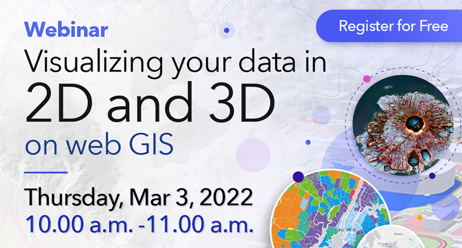
Webinar <Free>: Visualizing your data in 2D and 3D on web GIS
Date: Thursday, Mar 3, 2022
Time: 10.00 a.m. -11.00 a.m.
Join our upcoming webinar on “Visualizing your data in 2D and 3D on web GIS” to learn how to effectively visualize your data with Esri’s web-based mapping software, ArcGIS Online. Bring your data into our powerful ArcGIS system to see patterns, trends and relationships from your 2D data using the new Map Viewer, create 3D scenes in your browser using Scene Viewer, and convey information using interactive data visualizations on a single screen with ArcGIS Dashboards.
In this webinar, you will learn the following:
- ArcGIS Online: The New Map Viewer Introduction
- 2D data visualization using Map Viewer demonstration
- ArcGIS Online: Scene Viewer Introduction
- 3D data visualization using Scene Viewer demonstration
- An overview of ArcGIS Dashboards and demonstration
Presentation: Virtual webinar in English